The visualization type defines the coordinate system of the visualization and the layers that are allowed to be rendered on it. Hopara implements 4 visualization types: geo, chart, 3d and whiteboard.
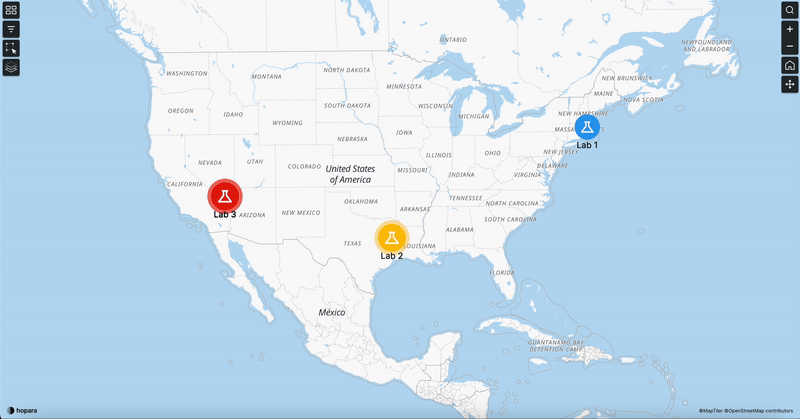
The geo-visualization is used to display information on a map. It defines a lat/long coordinate system and automatically adds a background map to the visualization.
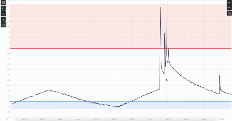
The chart visualization is used create charts on an X, Y axis.
The 3D visualization allows rotating the camera around an object and add a model layer to render 3D objects.
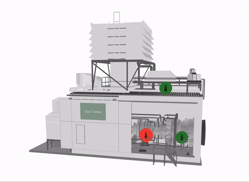
The whiteboard is a free form visualization. You can create anything from process visualizations to assets photos.
